Using Google Maps to Get Around
GOOGLE MAPS
GETTING AROUND HAS NEVER BEEN EASIER
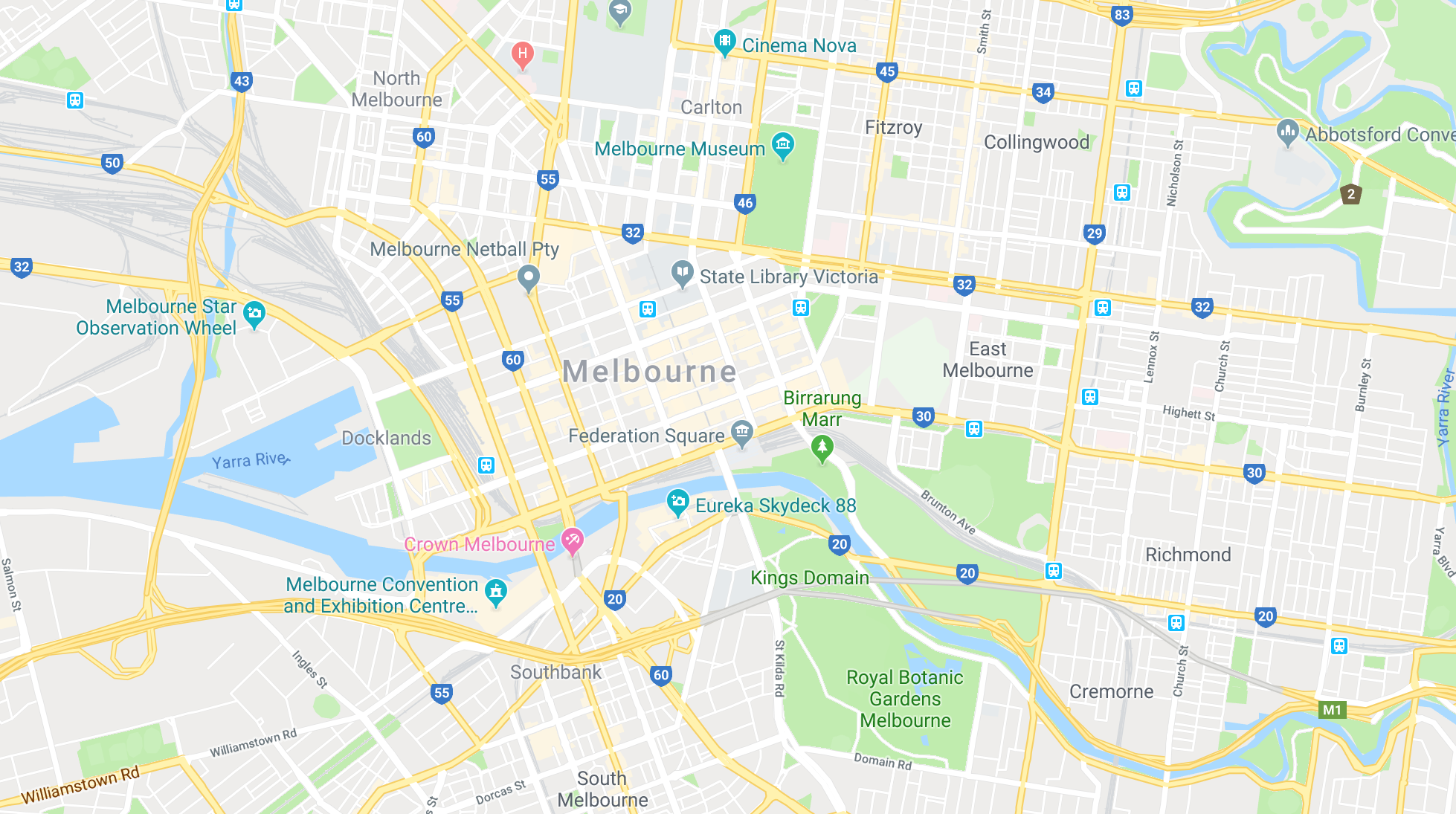
Melbourne may not be the biggest city in the world but it’s still easy to get lost in, especially when you’re heading somewhere you’ve never been to before.
With Google Maps you can type in the address you need to go to and you can click on the directions button (outlined in red below) and it’ll show you the driving directions. But you can also change the settings so Google Maps tells you how to get to your destination via public transport!
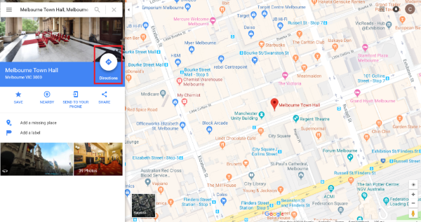
Once you click on directions you’ll have to type in your current address. If Google asks to know your location, all it’s doing is trying to do is see where you are so you don’t have to type in your location.
Once that’s typed in you’ll see the directions (the default being car directions) to your destination. But you can click on the Train icon (highlighted in red) and it’ll show you public transport options.
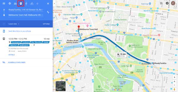
Google in now telling me that for me to get to Melbourne Town Hall from our office, I need to take any of the Cranbourne, Frankston, Glen Waverley, Lilydale, Pakenham or Sandringham trains and I can take one of these trains every 4 minutes. But what direction am I going? Where do I hop off? I just need click on the train option and it’ll show me more details.

Now I’m all ready to go! I should leave the office at 12:02pm and walk to Richmond Station where I can catch the 12:03pm Glen Waverly Train towards the City and hop off at Flinder’s Street Station and have a short 5 minute walk to Town Hall.
Not only does Google Maps do trains but it also has the information for trams and buses too. It’ll even account for if you need to swap trains or trams.
Google Maps can be accessed on your computer at https://www.google.com/maps
You may also like

iPhone Photos Visual Look-Up Feature

Linking your COVID vaccination certificate to the Services Victoria App
